 Discuss a project
 Service 03
Drone Mapping & Inspection
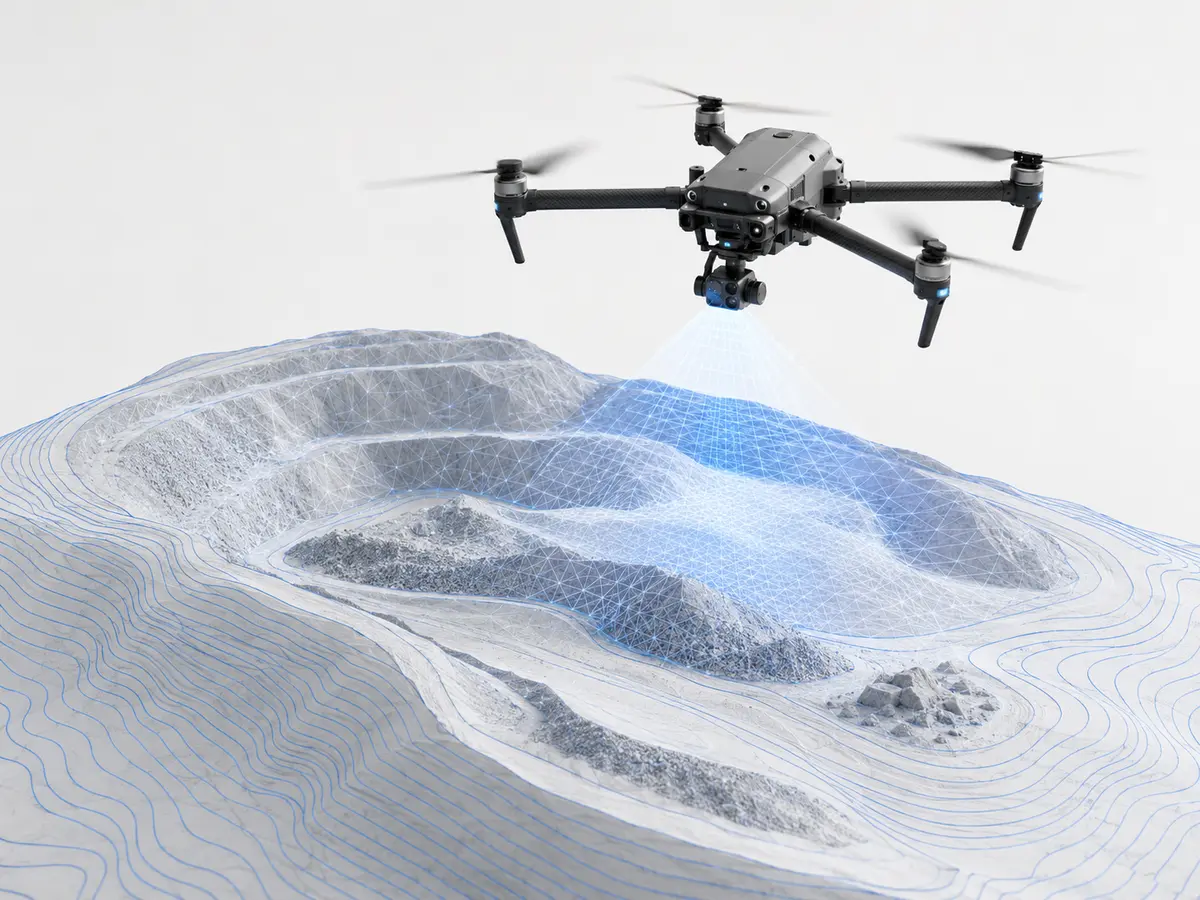
Structured aerial data capture for stockpile volume, site mapping and visual inspection with safer, faster field coverage.
Technical scope
Measurement structured around the asset.
Every assignment begins with the required outcome, available asset information, operating constraints and applicable technical basis. The field method is then selected to produce a reliable and proportionate result.
Typical deliverables
3D surface model
Volume report
Inspection imagery
Plan a measurement